465 Rund um den Guffert

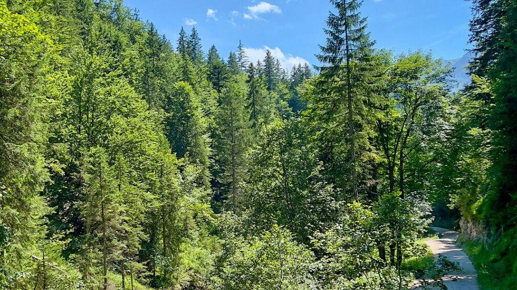
on the way to the Gufferthütte © Achensee Tourismus
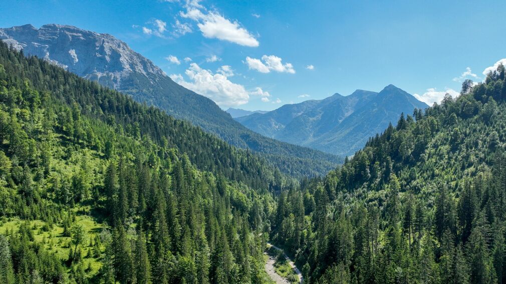
at the start of the MTB tour "465 Rund um den Guffert" - drone shot: the mountain "Guffert" on the left, the mountain "Unnutz" straight ahead © Achensee Tourismus
at the start of the MTB tour "465 Rund um den Guffert" © Achensee Tourismus
at the start of the MTB tour "465 Rund um den Guffert" © Achensee Tourismus

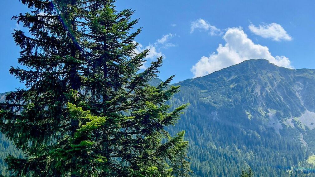
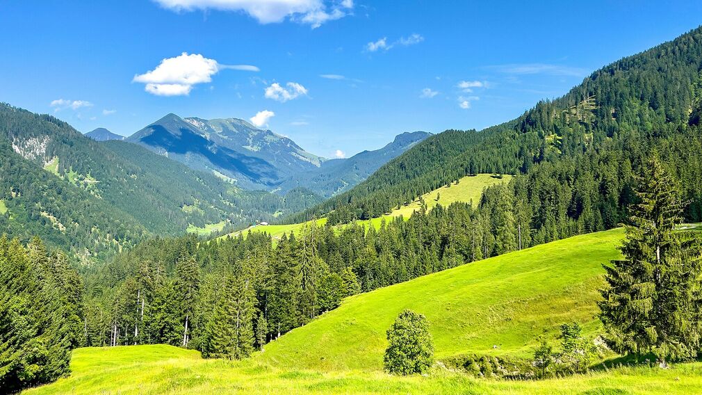
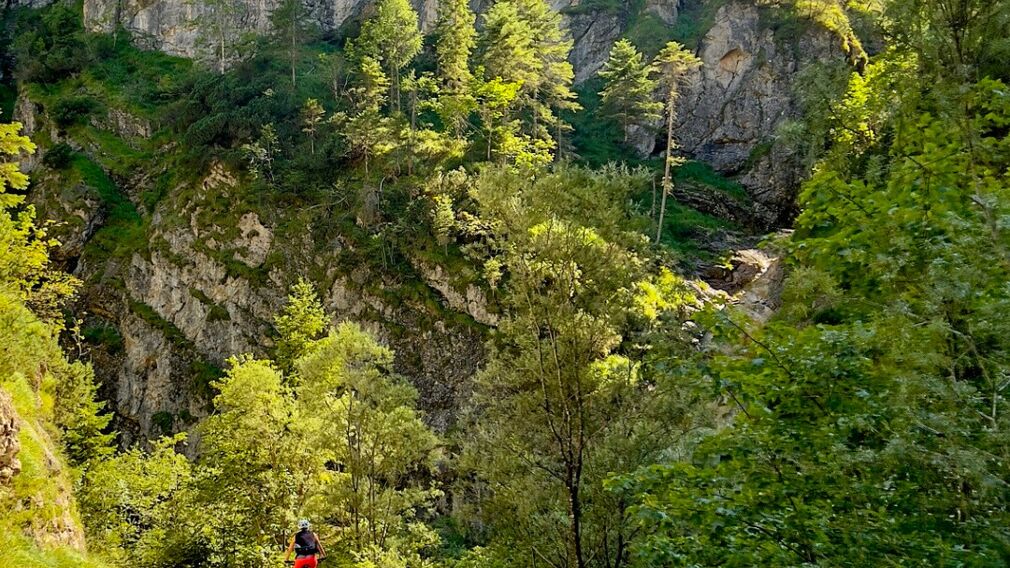
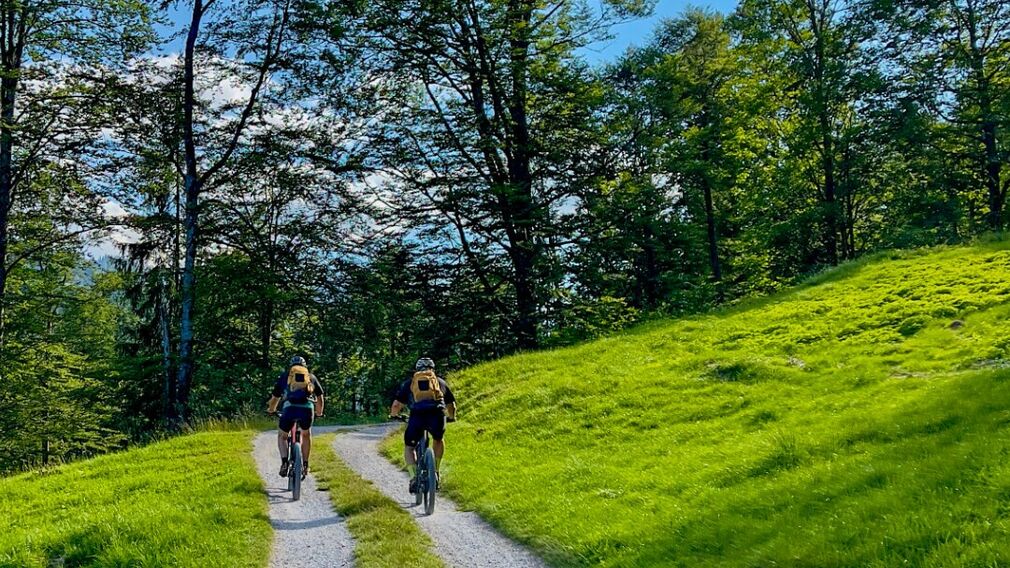
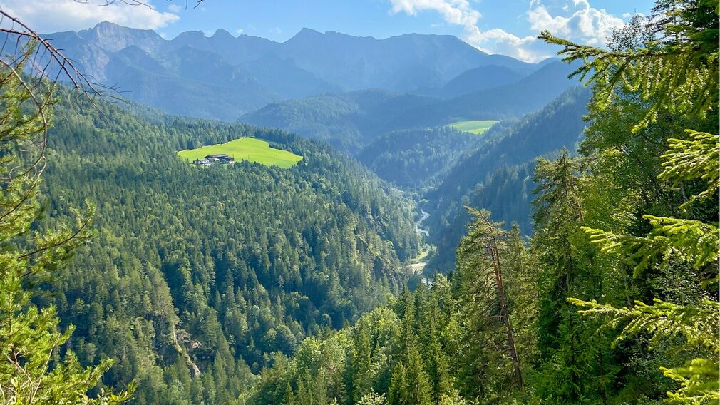
views along the route of the MTB tour "Rund um den Guffert" © Achensee Tourismus
on the way of the MTB tour "Rund um den Guffert" - view to the Hintere Sonnwendjoch, in the foreground the Jocher Bairachalm © Achensee Tourismus
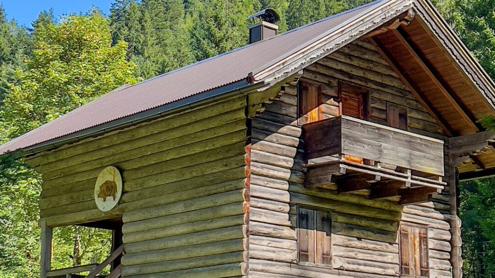
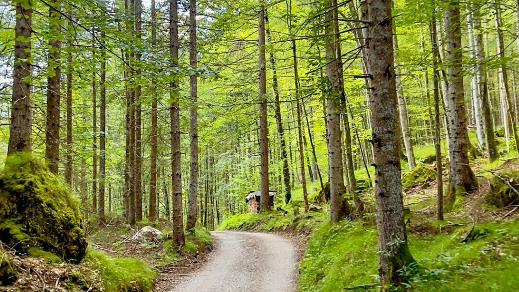
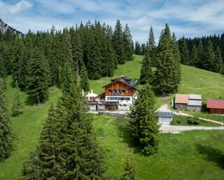
mountain hut along the MTB route "Rund um den Guffert" © Achensee Tourismus

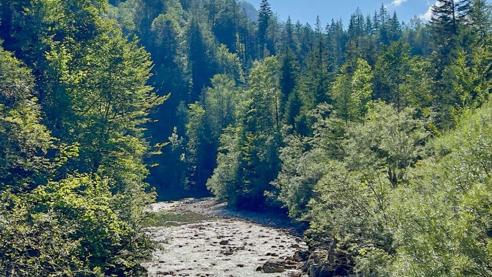
mountain stream along the mtb tour "465 Rund um den Guffert" © Achensee Tourismus
on the mtb tour "465 Rund um den Guffert" © Achensee Tourismus
the Brandenberger Ache flows along the path to the Kaiserhaus inn © Achensee Tourismus
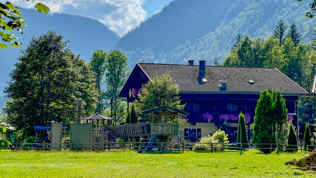
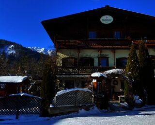
the Kaiserhaus Inn © Achensee Tourismus
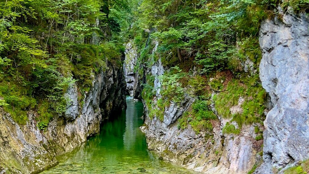
the Kaiserklamm gorge at the Kaiserhaus inn © Achensee Tourismus

along the MTB tour "465 Rund um den Guffert" - in Brandenberg in the direction of "Gang" © Achensee Tourismus
on the MTB tour "465 Rund um den Guffert" - in Pinegg © Achensee Tourismus
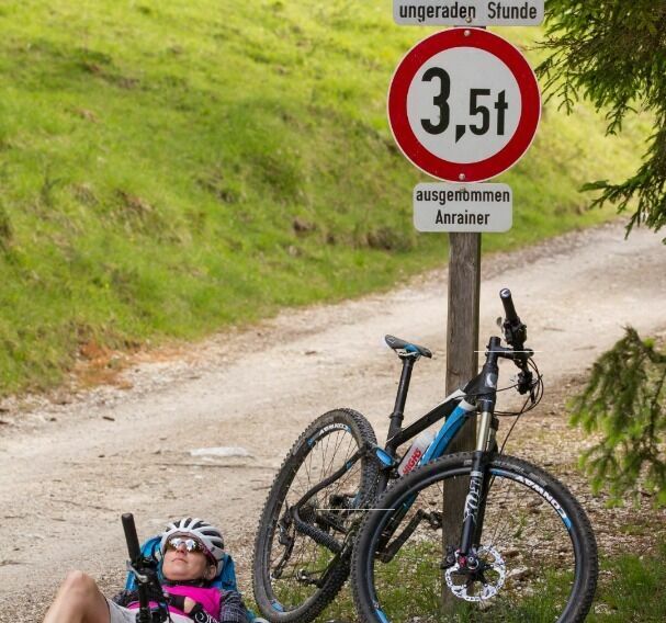
For cars there is a driving order on the "Gang" road - the bikers are taking a break. The Gang road is only accessible from Steinberg am Rofan in the first 30 minutes of every odd hour, from Pinegg only in the first 30 minutes of every even hour. © Erwin Haiden, nyx.at
on the MTB tour "465 Around the Guffert" - on the "Gang" road © Achensee Tourismus
view from the "Gang" street in the direction of Enterhof and Schmalzklause © Achensee Tourismus
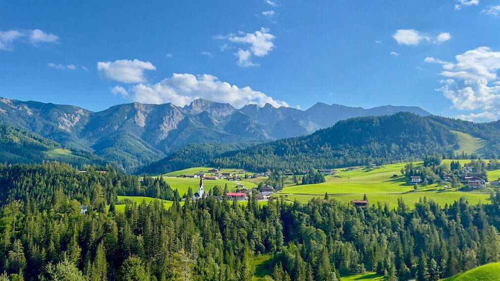
at the end of the "Gang" road - view to Steinberg am Rofan, to the parish church © Achensee Tourismus
From the starting point the route follows the forest road alongside the Ampelsbach stream. Underneath the Gufferthütte (serviced, route 407) – follow the signs Kaiserhaus/Pinegg to Kaiserhaus (serviced). The route continues over a gravel road back to the starting point via Steinberg am Rofan.
Note: The distance indicated is for the complete loop.
more
less
Linked resources

Difficulty
Medium
Route Length
41 km
Route Time Total
06:00 h
Elevation Gain
990 hm